"The principle of all things is water"
The Four Headwaters Trail - from the Rhine to the Reuss, the Ticino and the Rhone
The river valleys in the Gotthard region have always been lifelines. They were settled from the early Middle Ages and developed economically and culturally. The Four Headwaters Trail connects the main valleys and with them stories of life and people from the past and present and leads through incredibly fascinating, partly wild, partly gentle nature. - True to the motto: "The principle of all things is water", as the Greek philosopher and mathematician Thales of Miletus (625-545 BC) wrote.
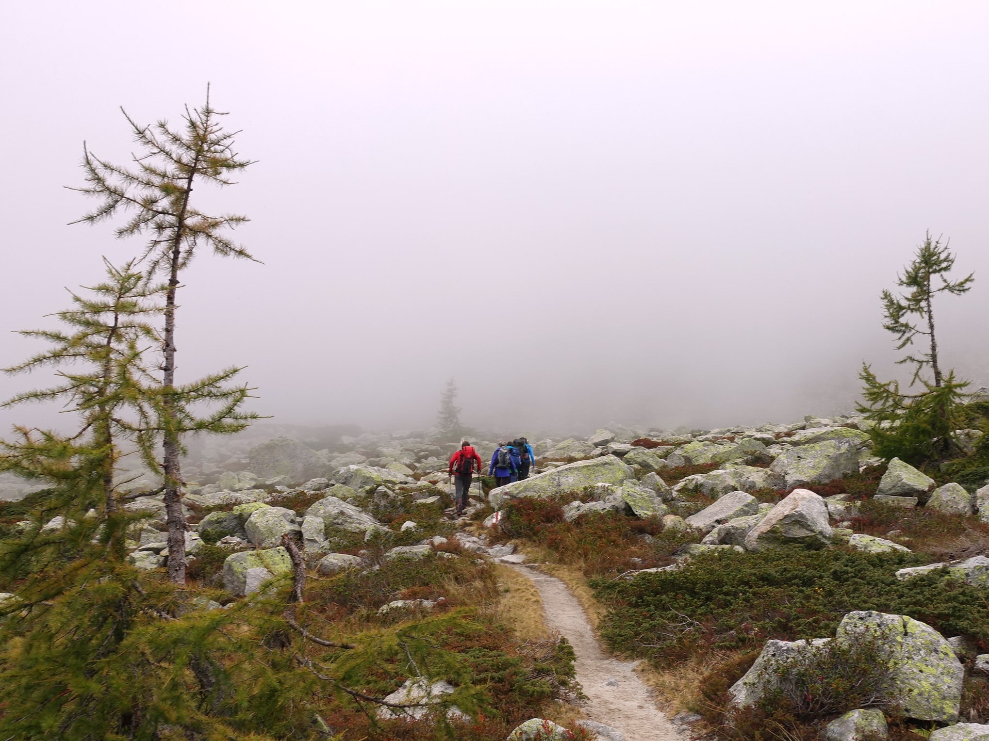
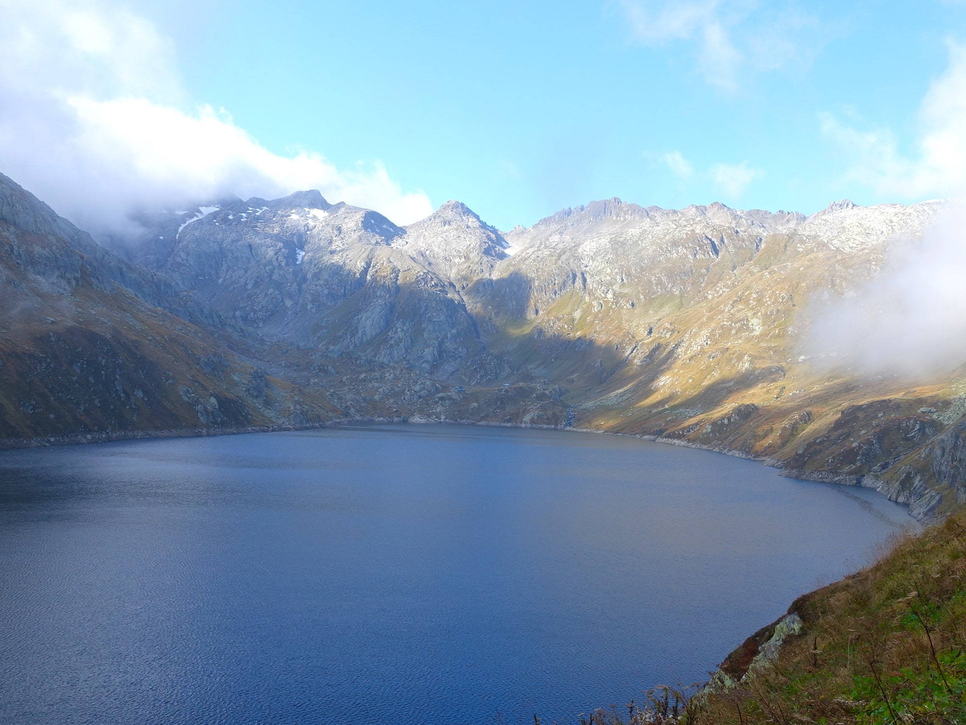
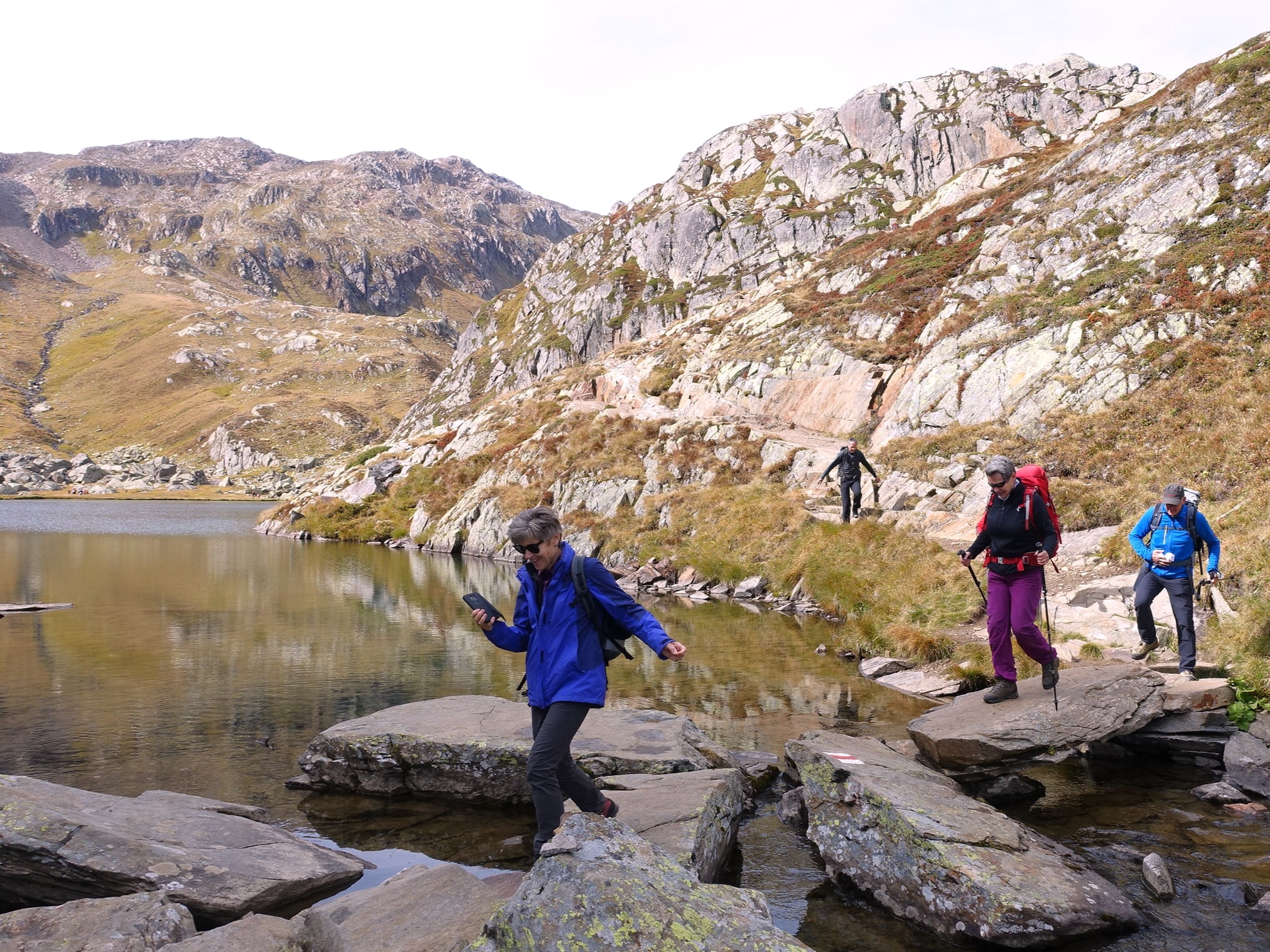
The source of the Rhine and the Lai da Tuma high above the Surselva
They are nameless, small mountain streams that flow from Badus and Rossbodenstock into the crystal-clear Lai da Tuma, the lake by the hill, as it is translated from Rhaeto-Romanic. The Benedictine priest, naturalist and first climber of Badus, Placidus A. Spescha (1752-1833), called Lake Toma the source of the Rhine. From here, the water pours over a steep rock step into the valley, rushes through the Surselva as a young, wild Rhine, eats its way through the imposing Rhine gorge and fills the wide Lake Constance. Growing ever wider, the river floats through Germany and is considered one of the busiest waterways in the world until, after 1233 km, it flows into the North Sea in Rotterdam on the Dutch coast.
Eight Reuss children and the enchanted mountain lake below the Passo di Lucendro
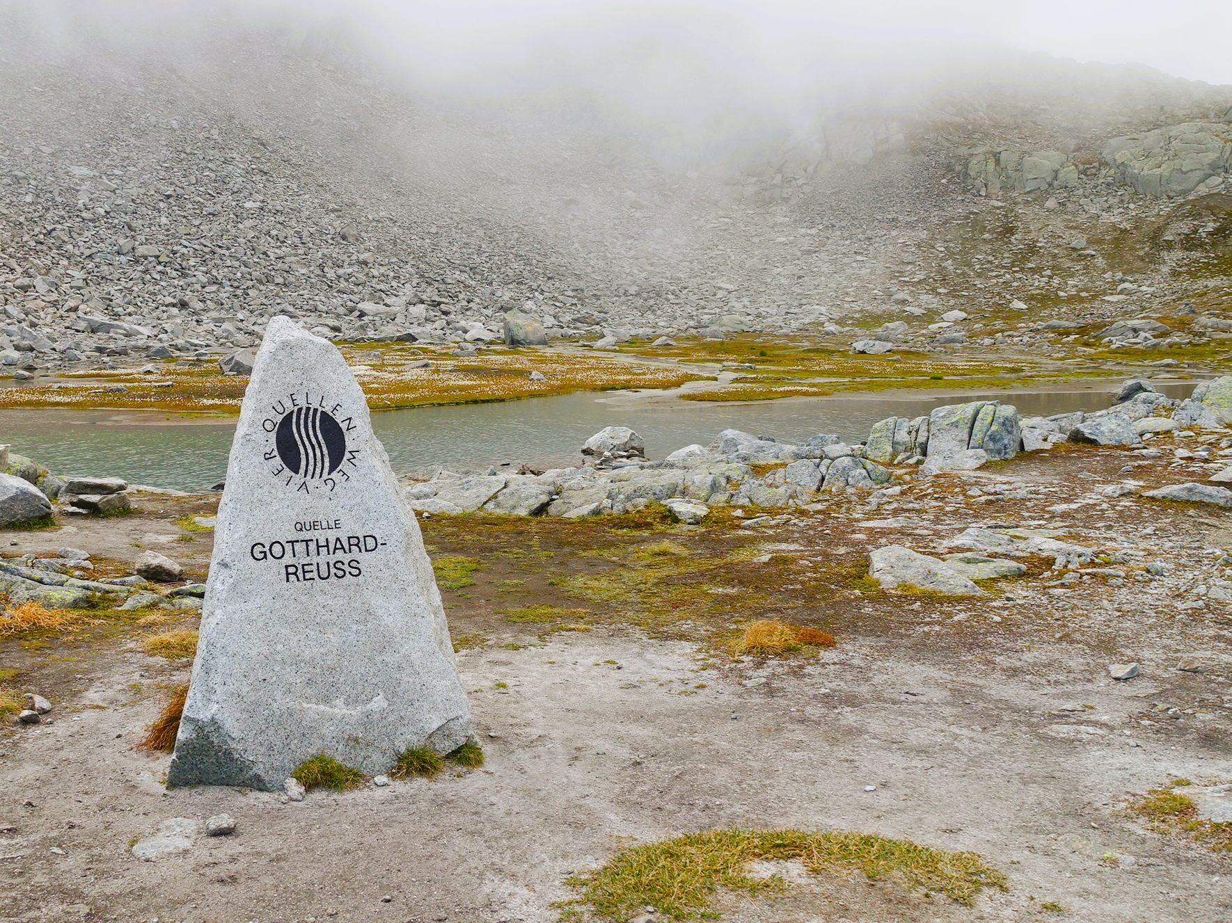
If you didn't know it, you wouldn't notice it. In fact, that's how inconspicuous the small mountain lake below the Passo di Lucendro appears! Right on the continental divide, one of the eight Reuss children rises, which is considered the main source. In the Urseren Valley, a further four children flow from the surrounding mountain valleys and plunge into the Schöllenen Gorge near Andermatt.
According to legend, the people of Uri made a pact with the devil to finally build a bridge over the gorge. As a reward, the first soul to cross the bridge would belong to the devil. Instead of a human, the clever people of Uri sent a billy goat across. Full of rage, the devil grabbed a stone. But before he could hurl it at the bridge, an old mother appeared and carved a cross into the stone. Distracted by this, the devil missed his target and the boulder still stands in Göschenen today.
In Göschenen and Wassen, the Göschenen and Meienreuss rivers are joined by two more children. Now there are seven of them and only the eighth is missing, which joins the family in Attinghausen as the Stille (silent) Reuss, which then flows through Lake Lucerne and the Freiamt and flows into the Aare at Windisch as the fourth largest river in Switzerland.
Stories of the Bedretto Valley and the origin of the Ticino at Nufenen
The Ticino rises from the trickling streams that converge in the valley basin below the Nufenen Pass and begins its journey through the southern canton and Italy until it flows into the Po at Pavia and then into the Adriatic Sea. Many of the inhabitants of the Bedretto Valley had to follow the path of the water out of the valley. Due to the altitude, the income from potato and rye cultivation was too modest. Working as seasonal workers abroad was necessary for survival. The hoped-for upturn, which could have meant the Bedretto window, did not materialize. The construction tunnel, which has connected the valley to the Furka Base Tunnel since the 1980s, was never extended. But the barred entrance near the village of Ronco still bears witness to the project today and ETH Zurich now uses a tunnel niche as a laboratory for research into geothermal energy.
The mighty Rhone glacier is the source of the Rottu, which becomes the Rhone and flows into the Mediterranean in the Camargue
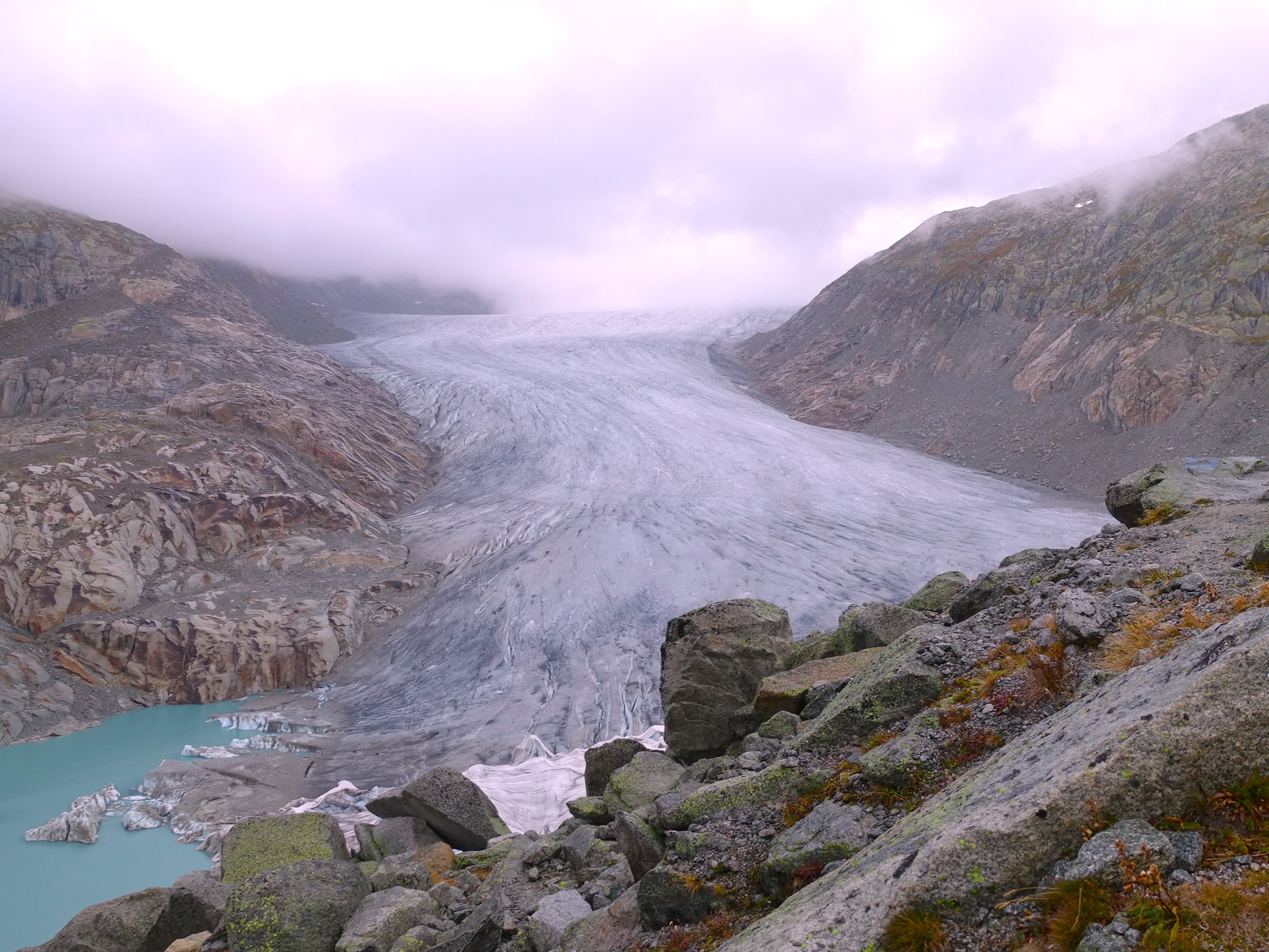
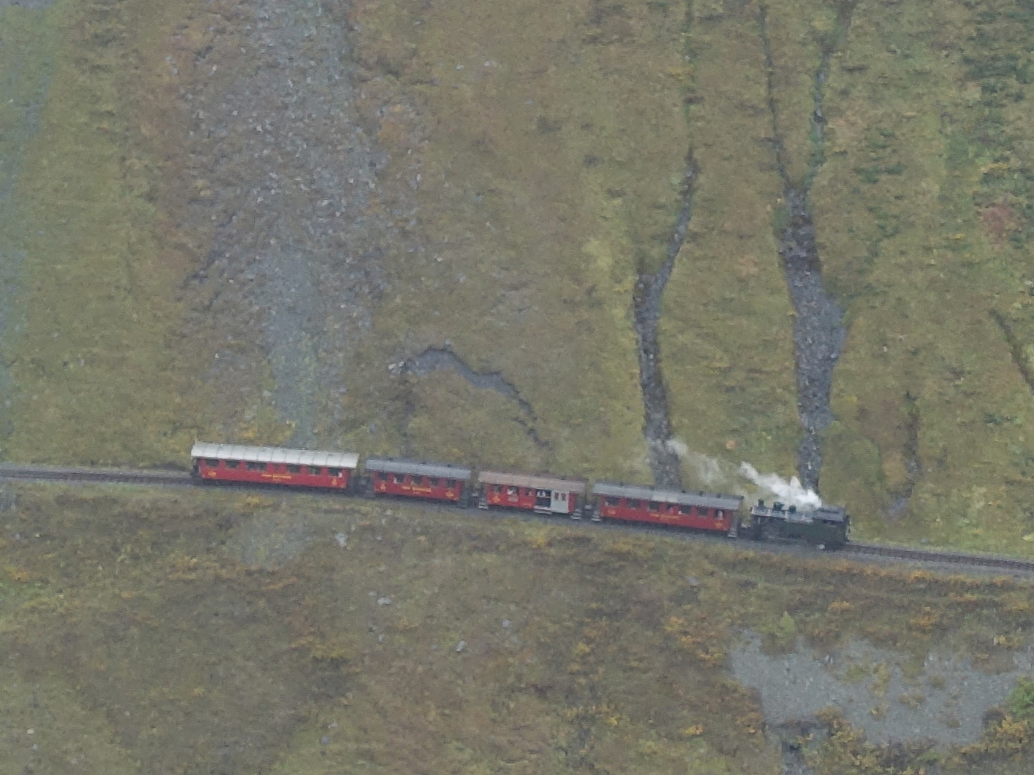
Around 1850, the height of the Little Ice Age, a visit to the source of the Rhone would at least have been less strenuous. The glacier reached as far as the valley floor of Gletsch, almost as far as the Hotel Glacier du Rhône. And so Gletsch became a tourist magnet in the second half of the 19th century. During the Belle Epoque, the hotel complex offered 320 guest beds and during the summer months, 80 to 100 guests left the village every day in carriages for Brig, Grimsel or Furka and new ones arrived. With the construction of the Brig-Furka-Disentis railroad before the First World War, the economic crisis in the post-war years, but also the changed landscape due to the retreat of the glacier, the splendor of the village faded. Today, however, trains once again steam over the Furka mountain line and the plain in front of Gletsch has been transformed into a magnificent meadow landscape. One step higher, however, the rapidly retreating Rhone Glacier bears witness to climate change. Even the protecting cover cannot save the ice. It melts inexorably into water, which takes its course as the young Rottu through the Goms and now flows as the Rhone through the Valais into Lake Geneva and crosses France from east to south. In the Camargue, which is known for its rich variety of water birds and Camargue horses, but is also important as agricultural land and for salt production, the Rhone flows into the Mediterranean.

About the Four Headwaters Trail
The Gotthard region is the source of the four rivers Rhine, Reuss, Ticino and Rhone. This gave Paul Dubacher, initiator and project manager of the Four Headwaters Trail, the idea to develop the route. The first construction work began in 2009 and the trail was opened in 2012. A big thank you therefore goes to Paul Dubacher and all those who helped to realize the project. With a connection to the triple continental divide of Europe high above the Urseren and Bedretto valleys, another attraction was added to the trail last year. (More information at www.vier-quellen-weg.ch)
Source: Foundation Four-Headwaters Trail in the Gotthard Massif, Four-Headwaters Trail in the Gotthard Massif, 2019, Seedorf
Are you interested in other Alpine treks in Switzerland?
As many valleys, passes and peaks as Switzerland has, there are almost as many hiking options! And indeed, the possibilities are almost unlimited and always inspiring. From the multitude of tours, we can highly recommend the following two alpine hiking tours.